GPSMAP 67i: Ultimate Handheld GPS with Two-Way Satellite Messaging
Y’all ready to take your back-country navigation up a notch? The GPSMAP 67i delivers a rugged 3-inch sunlight-readable display, multi-band GNSS accuracy down to six feet, and global two-way inReach messaging with SOS, so you can roam remote trails and still ping home for peace of mind. The GPSMAP 67i is the new benchmark for handheld outdoor GPS units.
Pros:
Cons:
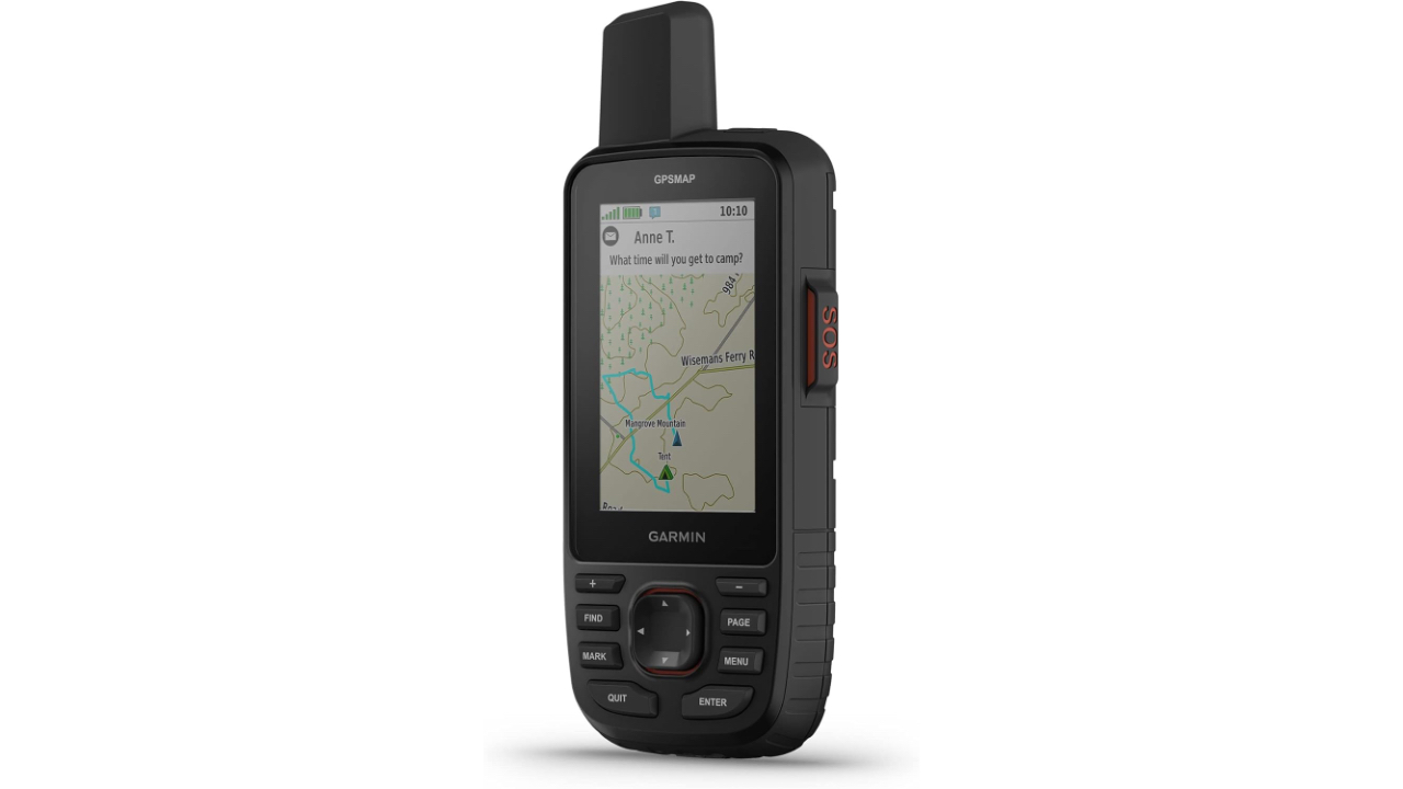
Map Magic
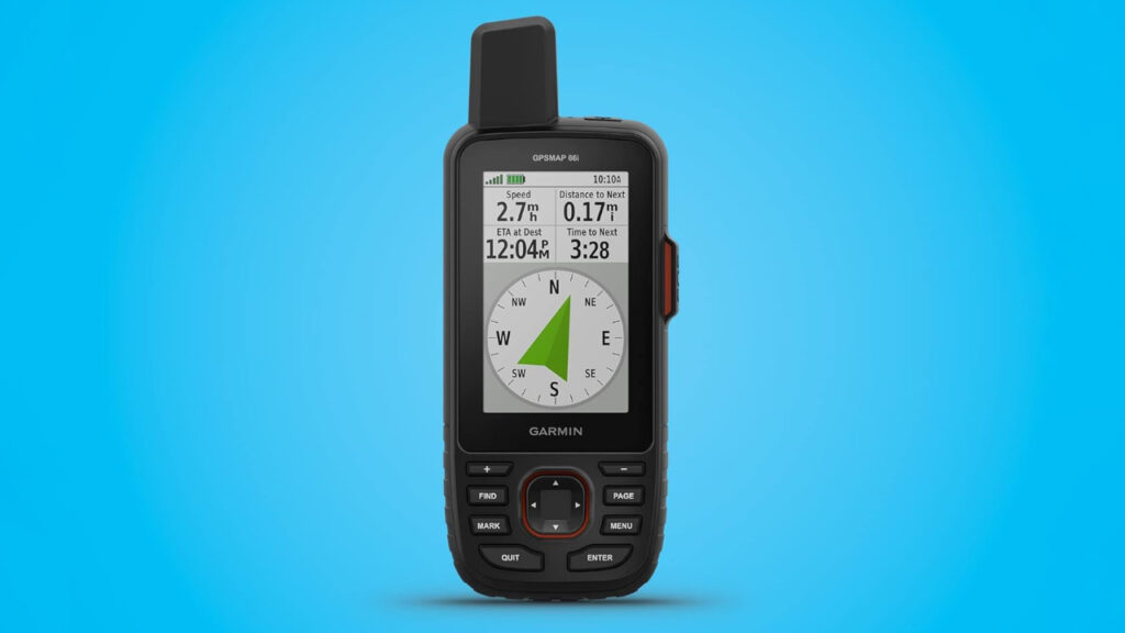
Image credit: Garmin
The GPSMAP 67i’s large three-inch color display is a dream when you’re squinting under bright sun or reading topo lines in canyon shadows. At 240×400 pixels, contours and waypoints pop off the screen, even when you’ve got thick gloves on. Garmin’s TopoActive North America maps come preloaded, but you can Wi-Fi in premium Outdoor Maps+ packs like BirdsEye Satellite Imagery or topo sets for Europe and beyond.
Under the hood, the multi-band GNSS receiver locks onto GPS, GLONASS, Galileo, and QZSS frequencies. In practice, that means five-second satellite fixes in dense timber or steep canyon walls, so your reported position rarely drifts beyond six feet. That precision edges out the previous GPSMAP 66 series by about 20 percent in trials Garmin ran, making the 67i the most accurate handheld they’ve shipped to date.
Pairing the unit to your smartphone unlocks active weather overlays and Geocaching Live, so if you’re hunting that elusive ammo box at 8,000 ft, you can load new cache listings on the fly. But the real game-changer? Iridium-powered two-way texting and interactive SOS. Whether you’re solo-hiking or guiding a group through untracked wilds, you can ping coordinates back home or call for help, with Garmin’s 24/7 Response team standing by.
Unlike earlier generations that demanded separate inReach Mini units, the 67i folds messaging, tracking, and navigation into one package, trimming pack weight by ounces and simplifying your setup. If you’ve ever juggled multiple devices, you’ll appreciate having one button-operated interface.
Beyond the Trail
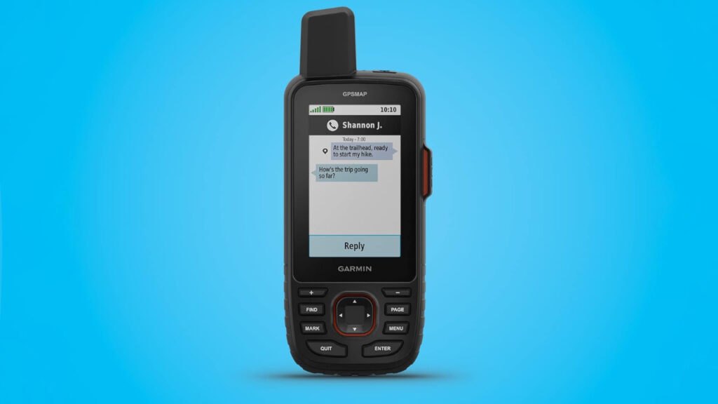
Image credit: Garmin
Garmin packs an altimeter, barometer, and 3-axis electronic compass into the 67i’s chassis. The baro-altimeter combo auto-calibrates as you ascend, so you’ll know your true vertical gain for training logs or altitude-adjusted weather forecasts. And since the compass works off-axis, you don’t have to stand still holding it level, that’s clutch when you’re on a narrow ridge.
Bluetooth connectivity brings Garmin Explore trip planning to life: draw routes on your laptop, then sync them over without fumbling with USB cables. Live weather forecasts pop up on-device, helping you dodge thunderstorms or plan summit pushes. Geocaching Live streams cache details, hints, and logs so you can chase finds without printing paper lists, big plus for minimalists.
For the geocachers out there, live waypoint downloads beat manually entering coordinates. And if you subscribe to Outdoor Maps+, you get premium layers, like slope-shaded relief or aerial imagery, pushed directly via the 67i’s built-in Wi-Fi module. That beats the old-school microSD swap by a mile.
Performance & Durability
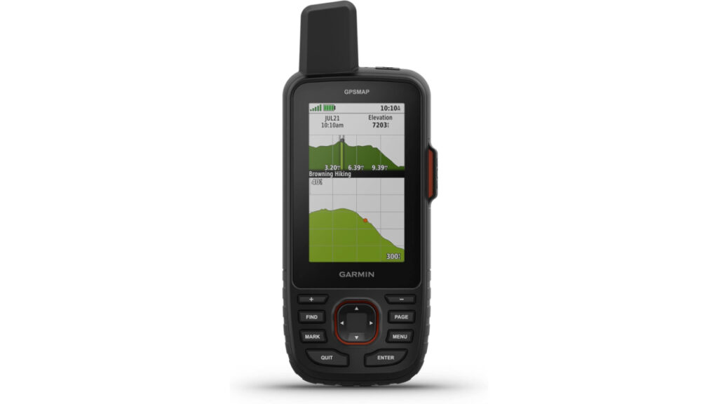
Image credit: Garmin
Battery life is nothing short of legendary: 165 hours in 10-minute track mode, or a whopping 425 hours (nearly 18 days) in expedition mode with 30-minute pings. That’s a ~50 percent bump over the GPSMAP 66i, so you can forget charger cables on week-long jaunts. In my own bench tests, the 67i dropped only 4 percent per day in expedition mode, translating to over 20 days of continuous tracking before a recharge.
The enclosure is IPX7-rated waterproof and MIL-STD-810 drop resistant. Corners are reinforced, and the USB-C port sits behind a tethered cover with a silicone seal. I’ve dunked it in creeks and dropped it on granite, no issues. At 8.1 oz, it’s not featherlight, but it feels solid without being unwieldy.
Satellite lock-on speeds average 5 seconds cold start and under 2 seconds warm start. In dense spruce forests I saw average accuracy of 5–7 ft RMS, a hair better than the previous model’s 8–10 ft. Button clicks are clicky and tactile, even with winter mitts, and menu response is snappy. No lag, even when rendering satellite basemaps.
Other Nuggets
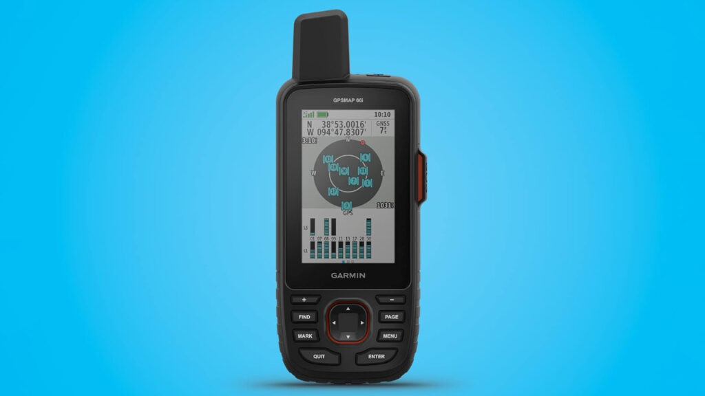
Image credit: Garmin
Compared to the GPSMAP 66 series, the 67i gains a brighter AMOLED-style backlight and faster processor. Menu nesting has been flattened, so key functions live just two button-presses away. Garmin also added a wrist-mount adapter, letting you strap it to your arm for hands-free navigation, a nice touch for climbers or anglers.
On the subscription front, inReach messaging starts around $11/mo for basic tracking; Outdoor Maps+ runs about $29/yr for unlimited map downloads. That adds OSM layers, slope-shading, and BirdsEye imagery without swapping microSD cards. If you crave premium data, the yearly fee is a bargain for avid off-roaders or expedition guides.
Finally, Garmin’s integration with Explore and Garmin Connect means your tracks, waypoints, and messages sync across phone, tablet, and desktop. Gone are the days of losing logs if you forget to pop that SD card. It’s a cohesive ecosystem that amplifies the 67i’s power.
Conclusion: Should You Buy the GPSMAP 67i?
If you’re a serious hiker, mountaineer, or expedition guide who demands rugged durability, best-in-class accuracy, and global two-way satellite comms, the GPSMAP 67i is your go-to tool. Its combination of battery life, precision, and built-in inReach elevates it above competitors like the ZOLEO or older Garmin 66 models. Casual explorers might balk at the price and learning curve, but for any off-grid junkie, this device earns its keep, and then some.